
Land and plots4 min read
Access to a plot: why the road on the map isn't enough
Author: The IM-Development team
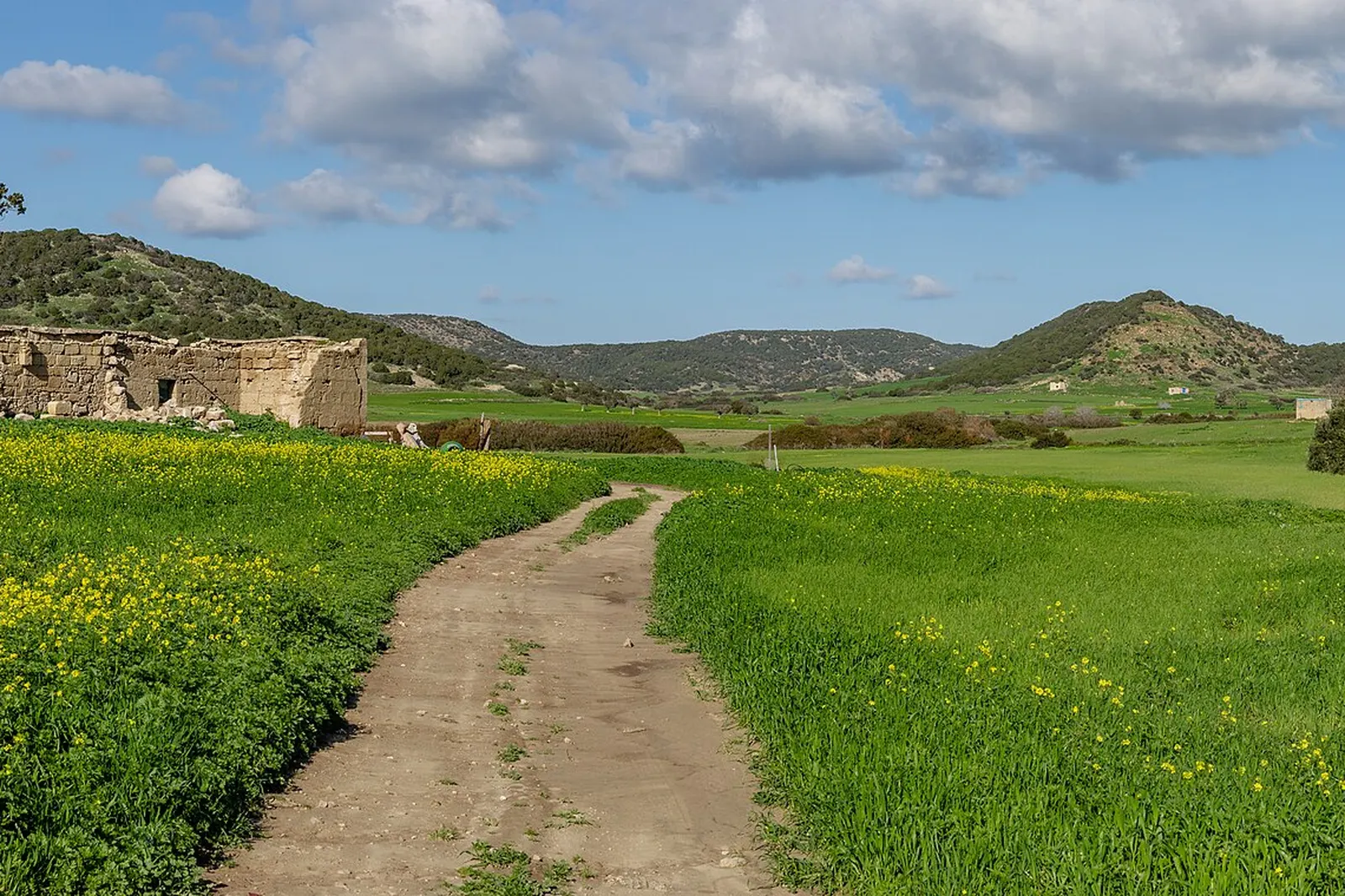
A line on the cadastral map marked as a road doesn't automatically mean the plot has real, legal access. Two separate questions need to be distinguished — legal access (whether the plot has a legally recognised right of passage) and physical access (whether the road actually exists, has been built, and is used on the ground). Missing either one makes a plot significantly harder and riskier to develop.
Legal versus physical access
Legal access means the plot has a legally recognised right of passage to a street or road with public status — for example, a duly established and registered right of way (easement) or another valid legal instrument. A line marked on the cadastral map or in a regulation plan does not, by itself, create such a right. Physical access means that road is actually built on the ground and can be used — not merely a theoretical entry in the documentation.
A plot can have one without the other: for example, a registered easement allowing passage across a neighbouring plot, but no road actually built because the neighbour never permitted its physical construction. The reverse is also possible — a well-trodden path used for years, with no legal status behind it at all.
Why the cadastral map alone isn't enough
The cadastral map shows registered plots and lines, but doesn't always indicate whether a given road has actually been implemented under the plan in force, nor whether it's genuinely passable year-round. A line marked as a street regulation line may exist only on paper — meaning the road is planned, but not yet built.
That's why checking access needs a combination of a documentary search and a physical site visit — relying on either alone leaves the picture incomplete.
It's also worth checking the road's history — whether it existed before the plot was surveyed, or was added later when the map was updated, since this can hint at how real its physical implementation actually is.
What exactly to check
- Whether the existing road is a public municipal street or runs across private land
- Whether passage across private land is backed by a registered easement in favour of your plot
- Whether the road has been implemented under a detailed development plan in force, or is only planned but not yet built
- The physical condition of the road year-round, not just in dry season
A hypothetical example
As a hypothetical example, suppose a buyer is viewing a plot that, on the map, is reached by a narrow strip marked as a 'street regulation line'. A site visit reveals that strip has never actually been built as a road — instead there's cultivated land belonging to a neighbouring private owner. The fact that the plan envisages a future street there does not, by itself, mean a legal basis for access already exists — it is necessary to separately establish who owns the strip, whether the plan has actually been implemented, and whether a registered right of way has been established. Implementing a planned street regulation line can be initiated in more than one way, including procedures involving the interested owners, not only the municipality. A lawyer's review is needed for a specific assessment.
Connection to infrastructure and status
Access is often checked alongside the question of connecting to electricity and water — see a plot without utilities — and the plot's planning status, covered in UPI, PUP and agricultural land. All three together give a realistic picture of what a specific plot really allows.
What changes depending on the type of access
A public municipal street is usually the safest option — access doesn't depend on the will of a specific private owner, and a change of ownership of a neighbouring plot doesn't threaten it. An easement established in favour of the plot across private land is more fragile: it binds the owners of the servient plot, but in practice disputes and complications happen more often, especially if relations between neighbours deteriorate.
For agricultural land, the question of access often overlaps with planning status — see UPI, PUP and agricultural land — because a change of land use can sometimes require proven real access as a condition.
Before you decide
If you're unsure whether access to a given plot is both legal and physical, it's better to delay a decision until you get written confirmation and carry out an on-site visit, rather than treating the map as sufficient proof.
For help checking a specific plot, see our services.
Not sure whether a plot has real access?
Send us the plot details and we'll help clarify the legal and physical status of its access.
Sources
Checked on 2026-10-01.
Related articles

Land and plots4 min read
Buying a plot near Sofia: 10 checks before you decide
A concise, practical checklist of what to verify before committing to a plot near Sofia.
Land and plots3 min read
A plot without electricity and water: what to clarify first
What exactly to check and request in writing before buying a plot without existing electricity and water connections.

Land and plots4 min read
UPI, PUP and agricultural land: what's the difference
An explanation of the difference between UPI, PUP and agricultural land — and why a change of use is never automatic or guaranteed.